From Platform to Path, Without the Guesswork
Reading the Landscape

Timing the Transfer

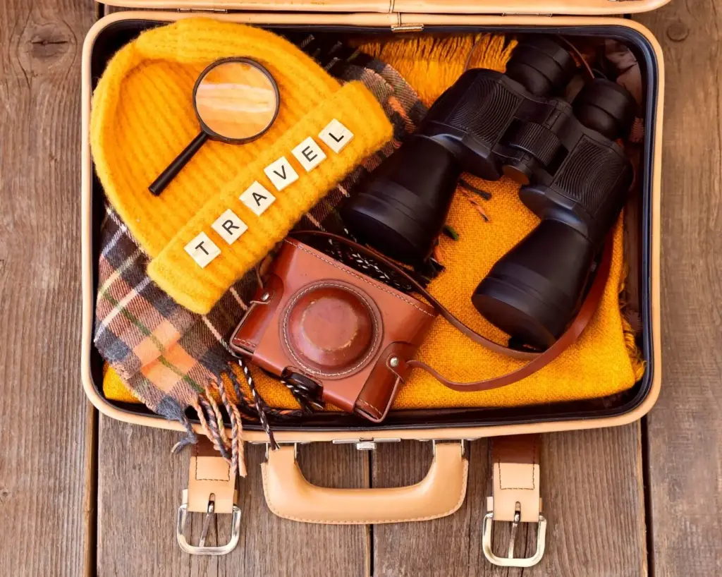
Light Luggage, Smart Choices

Park Partnership Vans
Many protected areas quietly operate limited but lifesaving vans, especially during peak seasons. These services often follow scenic roads closed to private cars, reducing congestion while opening access for car-free visitors. Call visitor centers, scan social posts, and check station bulletin boards for hidden schedules. Arrive early for seats, and bring exact change if digital payments fail. After your trip, send constructive feedback to coordinators; positive data and polite requests frequently extend routes and months of operation.
Carpooling and Legal Lifts
Community carpools can transform lonely shoulders into friendly gateways. Search official ride boards maintained by outdoor clubs or municipal platforms, and review safety rules before committing. Agree on pickup points visible from the station, clarify return expectations, and share fuel costs transparently. Avoid informal hitchhiking where regulations prohibit it or where sightlines are poor. Many regions now pilot vetted rides for hikers, with background-checked drivers and insurance. Respect drivers’ time with punctuality, thanks, and thoughtful trail etiquette stories.
Pilots That Worked
Consider mountain towns that aligned train timetables with Saturday trail buses, publishing one clear page that linked tickets and maps. Ridership rose, downtown traffic fell, and small cafés near stations flourished. In coastal regions, on-demand vans replaced infrequent fixed routes, reducing waits from an hour to fifteen minutes. Results hinged on clarity, not just vehicles: unmissable signs, consistent stop names, and real-time updates. When you encounter success, document it and send it to local planners to replicate widely.
Wayfinding You Can Trust
Borrow a Bike without the Hassle
Tools that Plan Beyond the Station
Offline Maps and Battery Wisdom
Download regional tiles for both streets and topo layers, then test airplane mode before departure. Calibrate expectations: high-resolution imagery comforts, but contours guide. Dim your screen, cap background refresh, and carry a lightweight power bank with short cables to avoid snags. Mark emergency egress points and taxi pickup zones. If your phone dies, a printed cue sheet with succinct turns can save the day. Technology should lower heart rate, not raise it; set it up accordingly.
Multi-Modal Trip Planners that Include Dirt
Most trip planners excel at buses and trains but ignore the subtle paths that matter most. Layer specialized trail apps atop general navigation, then reconcile differences. If a planner suggests a busy arterial, search for parallel greenways or disused lanes. Verify seasonal closures, flood-prone underpasses, and gates that lock at dusk. Add a five-minute contingency for photo stops and wayfinding checks. Export the final route to a single, trusted map so you are not juggling conflicting instructions mid-stride.
Crowd-Sourced Updates and Alerts
Local knowledge travels fastest through communities. Follow park rangers, trail associations, and transit operators on social channels for pop-up notices—downed bridges, sudden detours, or bonus shuttles. Join forums where hikers post fresh obstacles and creative workarounds. When you return, contribute candid updates with photos and times to help the next traveler judge conditions accurately. Courteous, detailed notes create a virtuous cycle: better information invites better trips, which inspire more contributors, which gradually erases uncertainty for everyone.
Safety, Access, and Inclusion for Every Body
Mobility Matters: Gradients, Surfaces, and Rests
Small details decide whether a connection is inviting or impossible. Note path camber, curb heights, and gravel size where wheelchairs or strollers must pass. Seek routes with predictable gradients, frequent rest spots, and clear tactile cues. Ask agencies for measured slope data rather than vague assurances. If a bridge lip feels jarring, report it with photos and coordinates. Celebrate wins publicly when fixes arrive; visible gratitude accelerates future improvements and builds a culture where access is treated as essential, not optional.
When Darkness Falls, Your Path Should Shine
Twilight compresses margins. Carry a small headlamp even for urban connectors, along with a flashing rear light for shoulder walks. Choose brightly colored outer layers and a reflective ankle band that moves distinctively. Favor routes with shopfront glow and steady foot traffic. If you must cross an unlit stretch, form a small group from the platform and announce intentions clearly. Save station security numbers, and do not hesitate to wait for the next shuttle if conditions feel off.
Confidence through Companionship
A friendly walking group transforms uncertainty into conversation. Many cities host station-to-trail social hikes, blending navigation practice with community building. Join one to learn shortcuts and share your own tips. Establish norms—no one left behind, clear checkpoints, and gentle pace guidance. Exchange emergency contacts discreetly and celebrate the small victory of a seamless return. Companionship does not erase preparation, but it eases decision fatigue and invites newcomers who might otherwise hesitate at the edge of the platform.
Make It a Movement: Partnerships and Funding
Transit Agencies Meet Trail Stewards

Grants, Data, and Measurable Wins

All Rights Reserved.